


Our Blog
27
happy clients
Software Innovation & Science
We bring science
We bring science
to the people
Our aim is to develop a consumer-friendly culture for information in climatology, agriculture, environmental protection, natural disaster monitoring, and renewable energy.
Our products offer a wide range of tools for analysing satellite imagery and environmental data by using cutting edge technologies and corroborating human expertise with Artificial Intelligence.
read moreWe integrate our customized solutions into an easy-to-use interface and adapt them to your needs. We offer consultancy services in the following areas:
- Local adaptation of weather forecast
- Satellite imagery analysis
- Climatology & climate change
- Software integration
Map
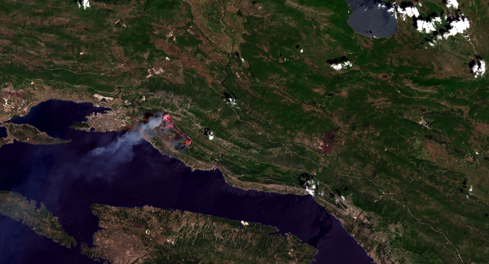
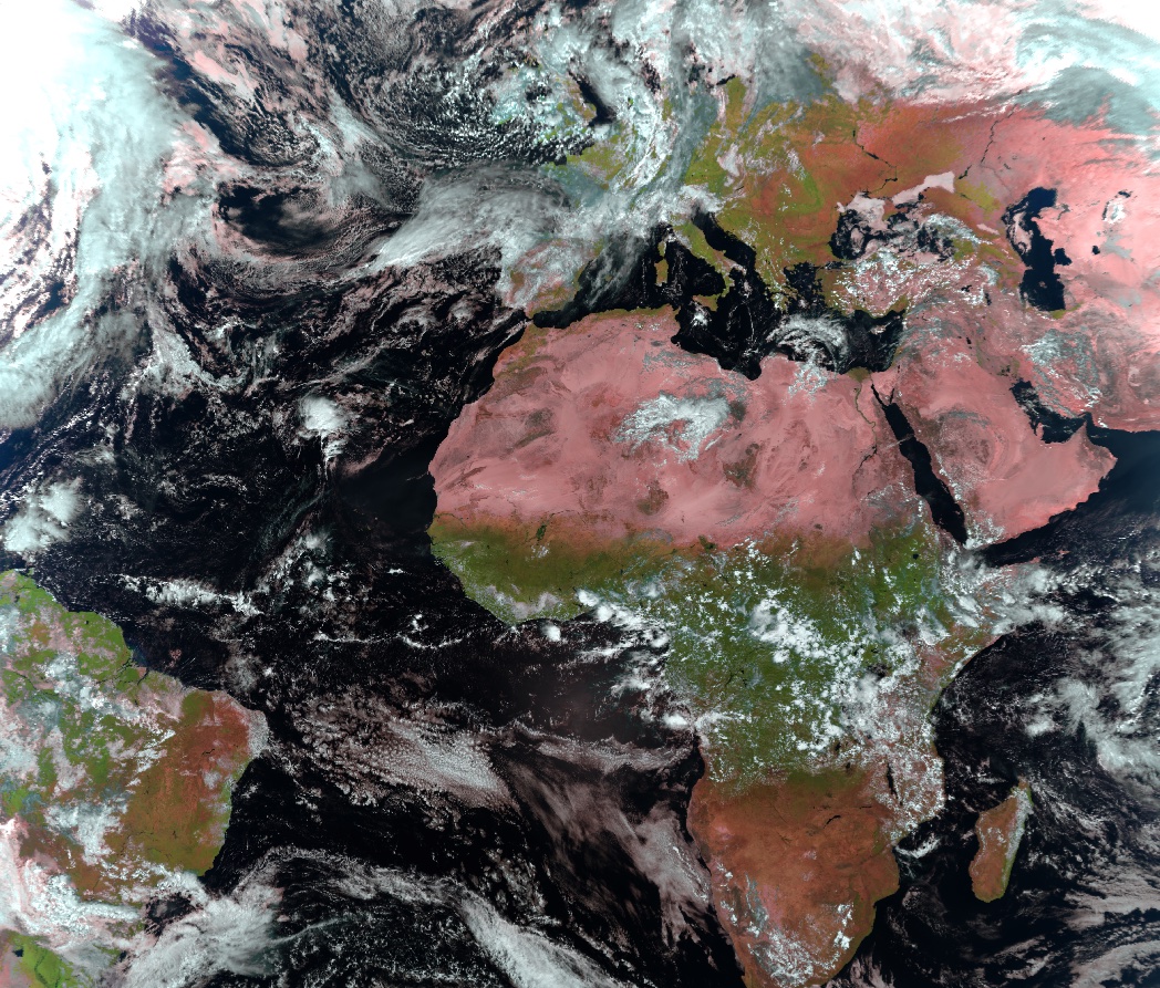
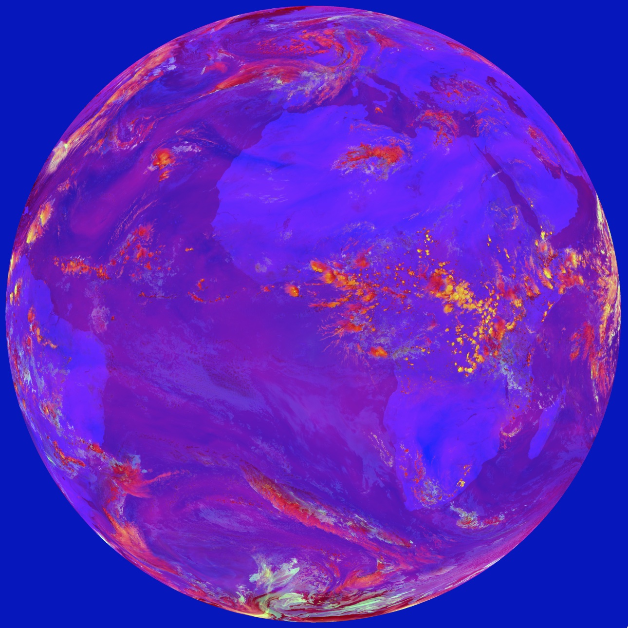
Uncovering hidden information in satellite imagery
Uncovering hidden information in satellite imagery
through Spectral Analysis
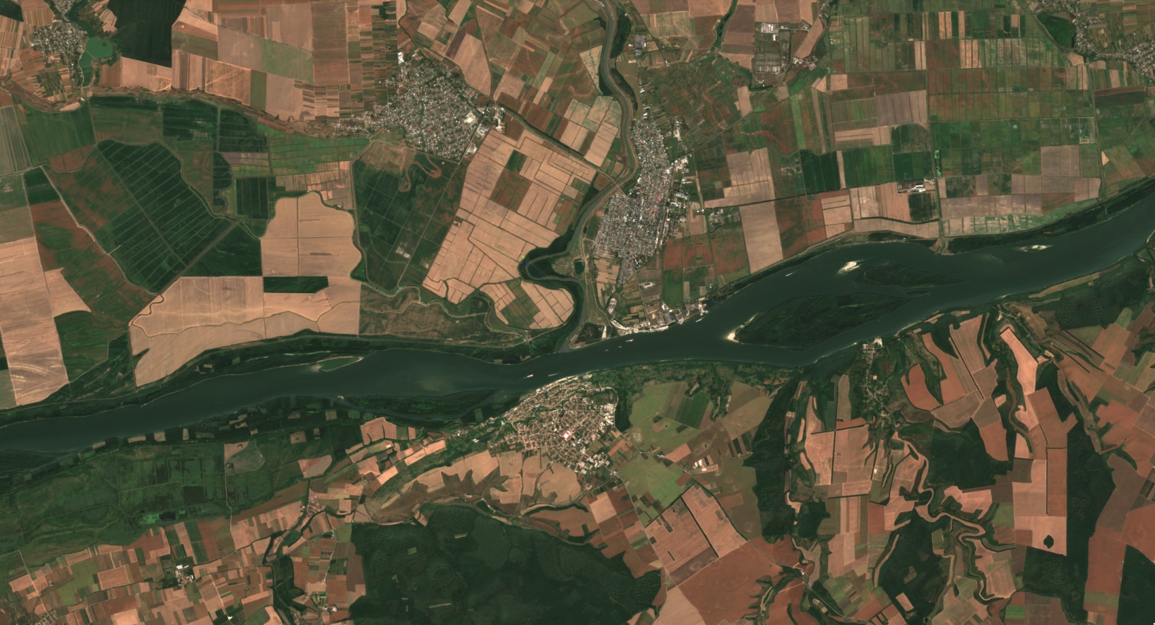
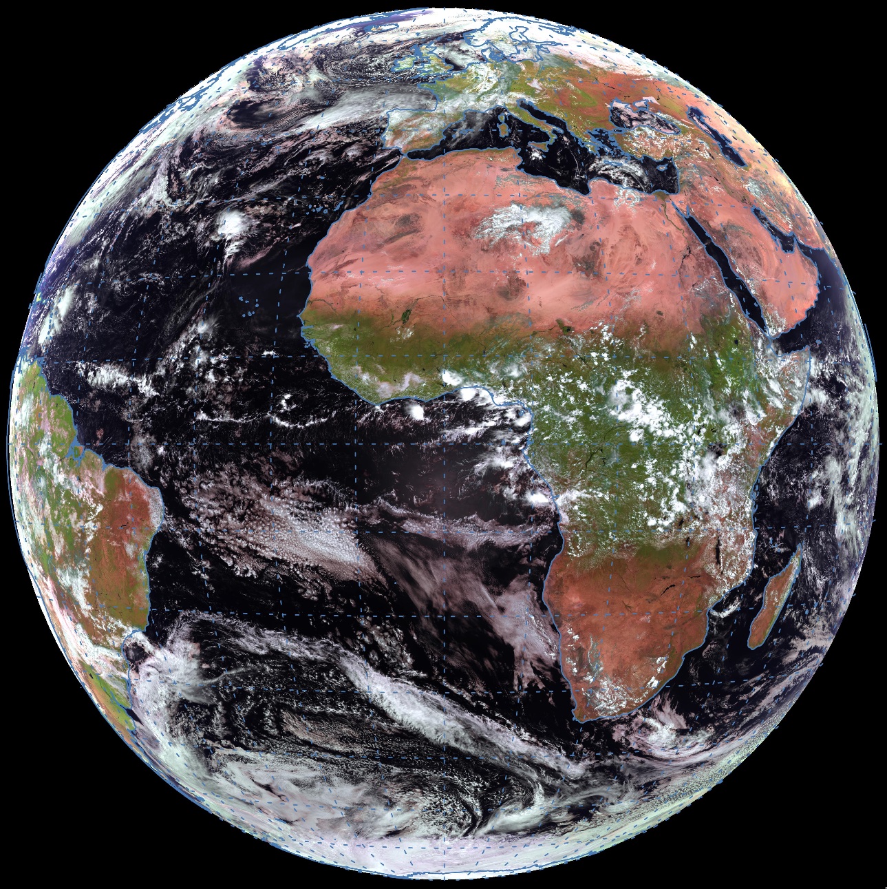
Aerial Imagery
For our highest resolution imagery, we work with commercial providers and open data sources to provide greater detail wherever available. At resolutions up to 5 cm per pixel, our aerial imagery delivers clarity and accuracy for cities, suburbs, and full countries.
If you have any questions or need help, feel free to contact our team
contact us
What We Do
Building Resilient and Adaptable Solutions
Sattelite Imagery
High Resolution Sattelite Images
Products and Services
Unleashing the Power of Our Comprehensive Services


